

THE TECHNOLOGY
The "Single Source of Truth"
Why LiDAR is a game changer:
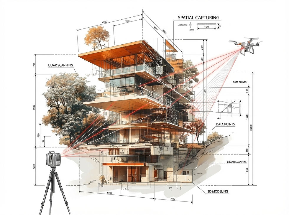
Until a few years ago, surveying buildings was a manual, error-prone process. LiDAR (Light Detection and Ranging) has radically changed this. The technology "freezes" reality and makes it digitally navigable and measurable.
AEC (Construction & Architecture)
Previously, forgotten measurements led to expensive remeasurements. Today, a single scan provides the complete inventory ("as-built") in one go.

FM (Facility Management)
Instead of searching through paper plans, managers know exactly where each line runs. This is the end of data silos.
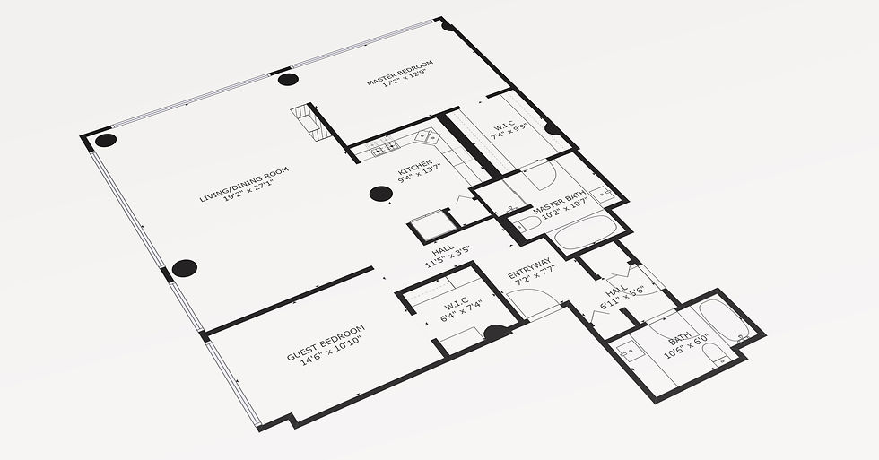
THE TECHSTACK
The anatomy of a digital twin
A 3D model doesn't exist in a vacuum. It requires three perfectly integrated layers.
TECHNOLOGY MATRIX
Precision vs Collaboration Tasks
Not every project requires engineering precision.
The biggest mistake in the market is "over-engineering".
We divide the technology landscape into two clear application areas:
.jpg)


Collaboration & Documentation
Non-Precision Tasks
The focus is on speed, visual quality, and context.
Goal: Rapid mapping of vast areas, documentation of construction progress, marketing, insurance, collaboration.
Technology leaders: Matterport (Pro3/Pro2), Realsee, 4DKanKan.
The promise: "Good enough for 95% of tasks." The accuracy (approx. +/- 20mm) is perfectly sufficient for LOD 200, area management and visual inspections.
The advantage: Extremely fast, low costs, minimal hurdles (enabling).
Engineering Grade
Precision Focus
The focus is on millimeter accuracy and structural integrity.
Objective: Prefabrication of components, steel construction, facade engineering, deformation analyses.
Technology leader: Leica Geosystems (RTC360, BLK360).
The promise: "Sub-millimeter accuracy." When a steel beam has to fit into an existing gap, there is no alternative.
The price: Higher investment, slower data collection, expert knowledge required.
Our expert conclusion: 80% of the market is currently moving towards "Collaboration & Speed," as data needs to be available quickly. We help you avoid using a sledgehammer to crack a nut.


MANUFACTURER
Matterport
Der Industriestandard für digitale Zwillinge. Die KI-gestützte Plattform von Matterport (seit 2025 Teil von CoStar) macht 3D-Erfassung für jedes Unternehmen zugänglich — vom Smartphone bis zum Pro3-Scanner.
Stärke: Schnellste Time-to-Value dank automatisierter Verarbeitung, nahtloser Cloud-Kollaboration und Integrationen in Procore, Autodesk & Co. Für alle, die Ergebnisse wollen, ohne Vermessungs-Ingenieur zu sein.
MANUFACTURER
Leica Geosystems
When millimeters count. The Leica (Hexagon) BLK series delivers survey-grade accuracy for projects where "approximately" isn't enough — from the BLK2GO for mobile data collection to the RTC360 for large-scale infrastructure.
Strengths: BIM-native workflows, certified point clouds and an ecosystem that surveyors, architects and civil engineers have trusted for decades.
TECHNOLOGIE MATRIX
Realsee
Maximum output, minimum effort. Realsee's AI platform automates the entire workflow — from data capture with the Galois scanner to the finished 3D tour with floor plan.
Strengths: Pay-as-you-go instead of subscription, extremely fast processing, and the lowest entry price on the market. Ideal for brokers, administrators, and hosts looking to scale volume.
TECHNOLOGIE MATRIX
4DKanKan
Where precision meets cultural heritage. 3DKanKan combines terrestrial LiDAR with SLAM technology to deliver museum-quality 16K panoramas.
Strength: Sub-centimeter accuracy for monument preservation, industrial metrology and detailed as-built documentation — where every point counts and visual perfection is not an option, but a requirement.
MARKET POTENTIAL
From "nice-to-have" to industry standard

The global market for digital twins is growing exponentially (CAGR > 30%).
Why?
Because buildings are the world's largest assets, yet have historically had the worst data. Pressure from ESG guidelines (CO2 reduction) and skills shortages is forcing companies to become digitally efficient.
Those who do not digitize their assets today will be managing "stranded assets" tomorrow.
Source: https://rootsanalysis.com/

